 ENG
ENG
 Danger Island
Indian Ocean, United Kingdom
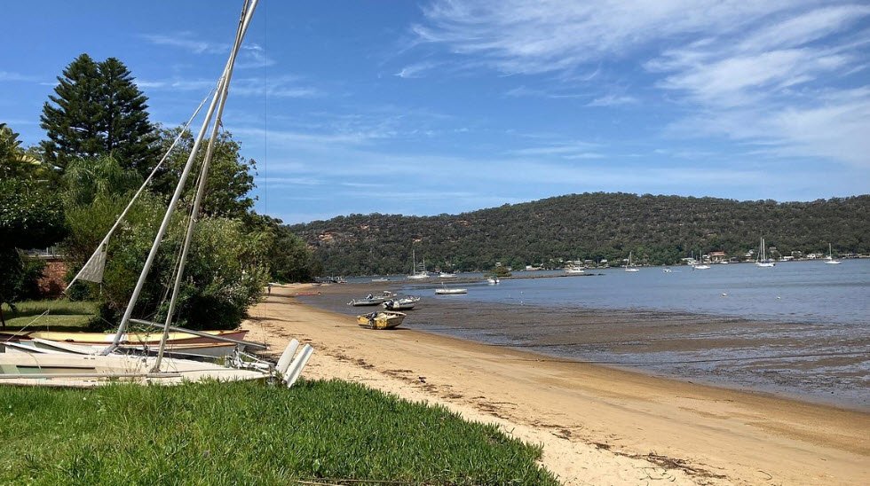
Danger Island, located in the British Indian Ocean Territory (BIOT) within the Chagos Archipelago, is the westernmost and southernmost island of the Great Chagos Bank—the world's largest coral atoll structure at coordinates 6°22′60″S 71°14′20″E.
This uninhabited, flat 163-acre (66-hectare) islet, roughly 2 km long and 400 meters wide, features tall coconut trees and a hazardous surrounding reef extending 2-3 miles south-southwest, likely earning its name from the lack of safe anchorage that endangers approaching vessels.
Designated a Strict Nature Reserve since 1998 and an Important Bird Area, it supports significant populations like 3,500 breeding pairs of red-footed boobies and 11,000 pairs of brown noddies, lying 16 km from the nearest land at Sea Cow Island.
Location
British Indian Ocean Territory
Detecting your current location...
Frequently Asked Questions
Danger Island is located in Indian Ocean, United Kingdom.
We list a wide range of destinations, including but not limited to: Beaches, Lakes, Temples, Museums, National Parks, Historical Landmarks, Mountains, Zoos, World Heritage Sites.
Yes, we strive to provide accurate and regularly updated information by researching verified sources, official tourism websites, and local insights.
Absolutely! You can browse places by: Country, Location, Category (e.g., waterfalls, temples, etc.), Popular attractions.
Yes, for many popular destinations, we include travel tips such as: Best time to visit, Entry fees (if any), Nearby attractions, Accessibility and safety information.
Yes, Fabplaces.com is completely free for all users to explore and discover amazing destinations across the globe.
Yes! We welcome suggestions. You can use our Contact Us page to recommend a place we might have missed, and our team will review and add it if appropriate.
 United Kingdom
Want To Advertise?

You might also like

Loano
Italy

Praia de Melides
Portugal

Taylor Memorial Arboretum
United States

Tree Hill Nature Center
United States


Leave a comment